After the weekend in which we had traced the Sun’s path across the sky, Monday arrived with a more troublesome question:
Were we calculating it correctly?
Our first discovery was an uncomfortable but modest one. The solar constant in the code was wrong.
By about six watts per square metre.
Not enough to illuminate a room, perhaps, but quite enough to tell us that a calculator claiming to measure the Sun had no business improvising.
We replaced it with the value used by PVGIS, the European reference for this kind of calculation. The Sun remained exactly where it belonged, and the two calculators stopped arguing over a few decimal places.
Then we looked upward.
And discovered something else:
Altitude matters.
A house in Predeal is almost a kilometre closer to the sky than one in Constanța. There is less air above it, and sunlight has a slightly thinner atmosphere to cross before reaching the panel.
So the instrument learned to ask for altitude.
At first, we gave it a coarse elevation grid, good enough for the first calculations. Then we replaced it with data describing the actual terrain.
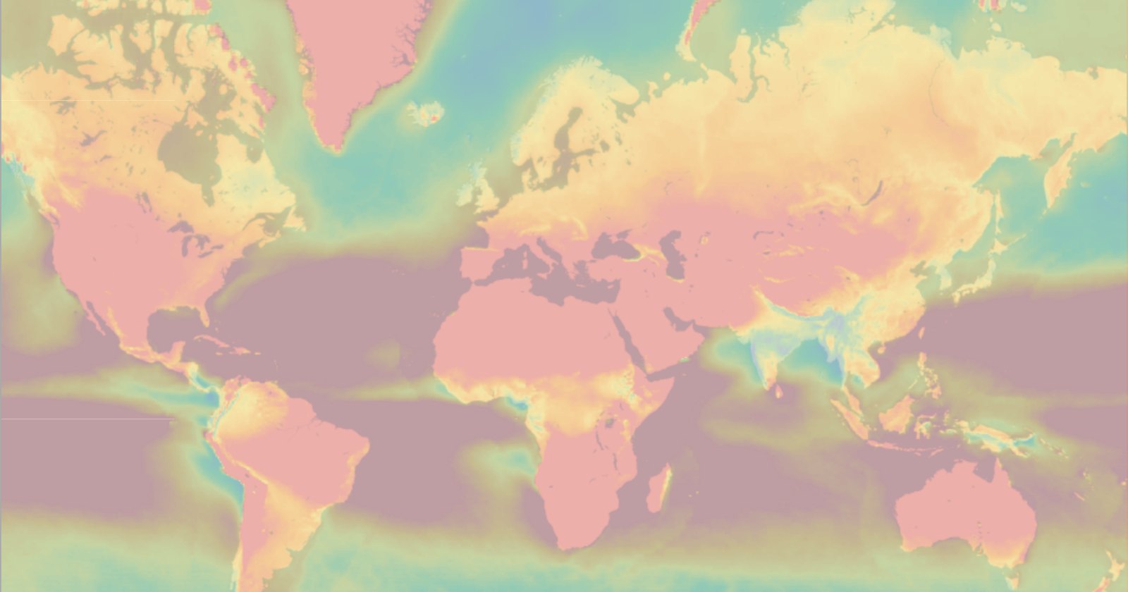
That was when the map played its little trick on us.
It simply stopped somewhere north of Stockholm.
Beyond that line, Siberia, Canada and Greenland suddenly became perfectly flat. Zero metres. A world without mountains, stretched out like a table.
It was not a new geographical discovery.
It was merely a hole in the data.
We found another dataset, built from satellite observations, and filled roughly seven thousand missing cells in four minutes.
The mountains returned to the North.
But the most interesting question of the day had nothing to do with mountains.
It concerned clouds.
How often, usually, is the sky above your house covered by clouds?
For that question, we turned to NASA.
Twenty years of satellite observations can tell us quite a lot about the sky above a particular point on Earth. And the data is available.
There is, however, one small rule:
Don’t be too demanding.
So we wrote a little script and let it sit quietly for forty-five minutes, asking one question every second.
One question.
One point on Earth.
Then the next.
And the next.
When it finished, we had a global grid describing cloudiness across the planet.
And the whole sky - twenty years of satellite observations - fitted into roughly 32 kilobytes.
That evening we fixed one more thing that should have been obvious from the beginning.
Move the house on the map, and you should not have to tell it the time as well.
Longitude tells the instrument which time zone to use, and the clock follows automatically.
Little by little, the calculator was becoming less a collection of formulas and more a description of the actual place in which you stood.
It still had no name.
But for the first time, it was beginning to understand not only what it knew about the Sun, but also where that knowledge came from.