It all began with a vanished page.
At the University of Oregon there had once been a small instrument with a very precise purpose: to tell a man where the Sun would be in the sky, whatever the season, provided he knew his latitude and longitude. Solar students used it. A course in Cluj still recommended it. Only the page had vanished. The server had vanished with it. The Sun, however, remained entirely indifferent to these administrative inconveniences and continued to rise every morning.
There was only one thing left to do.
We went looking for it in the archives of the Internet.
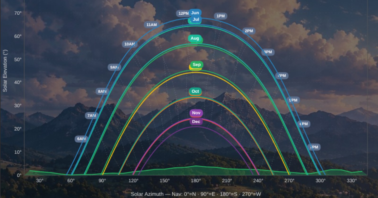
We found the remains of the old instrument and, rather than merely bring it back to life, decided to rebuild it. This time, entirely in the browser. Enter the latitude and longitude, and the machine would draw the Sun’s course across the sky, month after month.
Then the expedition became somewhat more ambitious.
In a single day, the instrument passed through seventeen versions.
The chart acquired new labels. A small “robot branch” broke away from the project and, after a few hours, returned carrying a heat map and a device for finding the proper inclination of the solar panels. It was received without incident. The “human branch” survived.
As evening arrived, we added a dark mode. Then we replaced the old American ZIP-code field with something more useful to us: a proper map, with a point that could be moved by hand. We placed that point over Brașov.
But the Sun is not the only thing a man must know before placing panels upon a roof.
Hills may conceal the Sun.
Trees may do the same.
And so, before the day was over, we added the first page devoted to obstacles: the hill to the west and the tree in front of the house.
The instrument still had no name.
But it knew where the Sun was.
And for the beginning of an expedition, that was no small achievement.